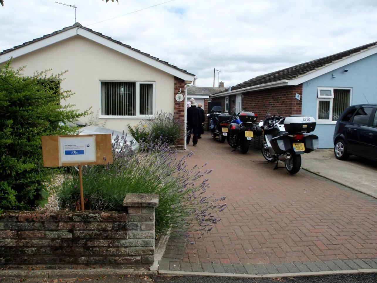
Last year the East Anglia Section Committee instigated a new
meeting format which is designed to give people the opportunity of
visiting a member’s home area and being shown around the area –
these are to be on Saturday mornings.
I agreed to arrange the
meeting for this year for Saturday 30th July. The forecast was
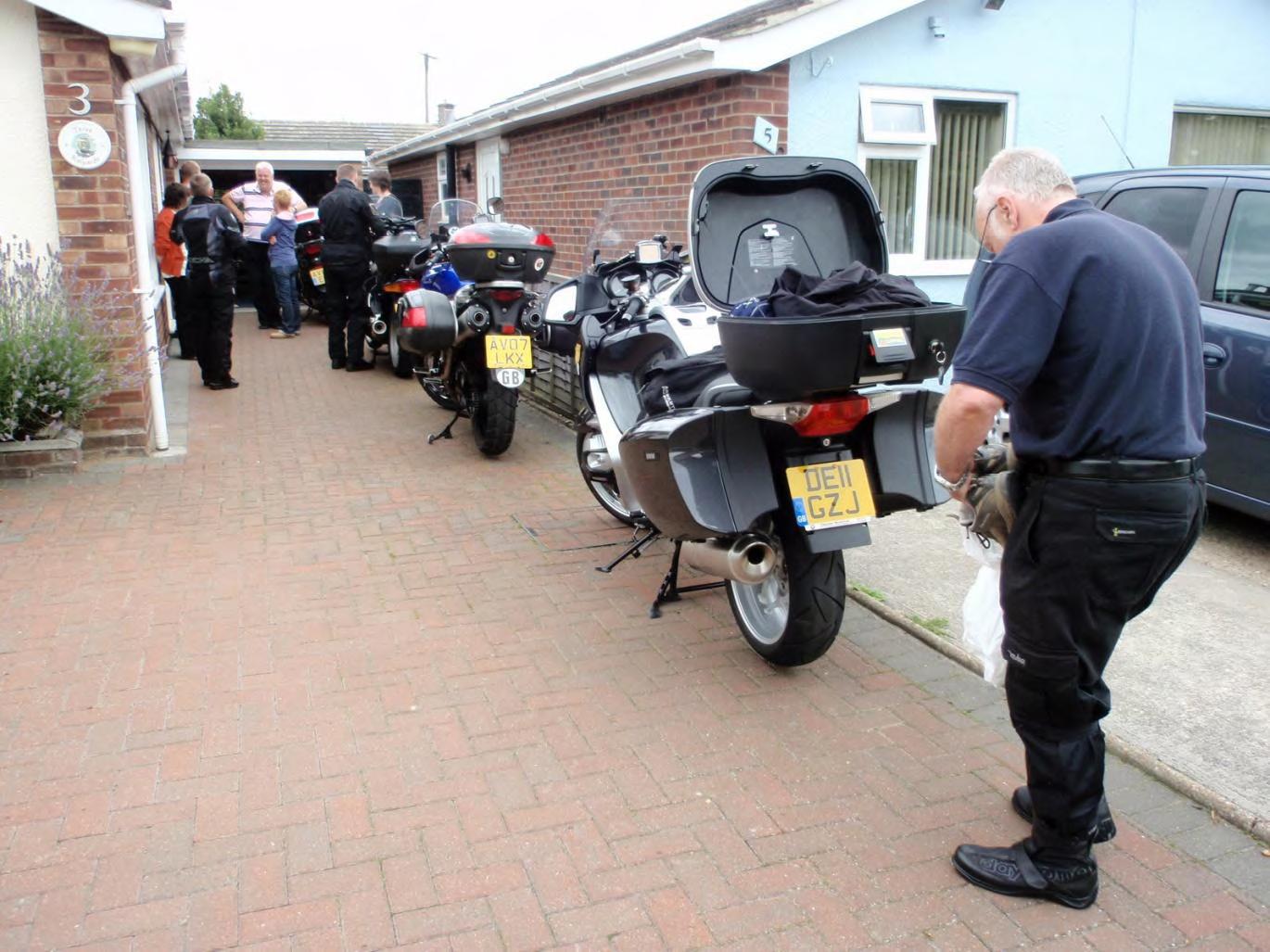
cloudy and dry and from 10.15am bikes and cars arrived at my home.
Some twelve people in all turned up.
Wivenhoe was named after the
word “hoe” meaning a spur of land jutting out in to the River Colne
and “Wifa” the tribe who lived here – hence Wivenhoe.
The town is
located 3 miles south of Colchester on the banks of the tidal River
Colne.
Coffee and cakes were served and after a general chat
amongst the group I handed out sheets of paper containing several
historical dates of events which have occurred in Wivenhoe. After
walking clothes and shoes were put on I led the group off through
the Wivenhoe woods, directly behind my house.
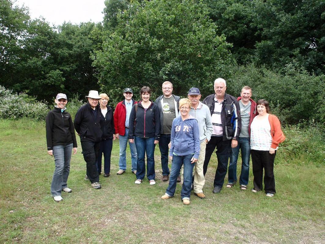
Group in the woods.
10 years after the Norman Conquest, the Doomesday Book records a community of around 30 adults. The church stands on the same site since Saxon times.
For over 2000 years the River Colne, alongside which we were now walking has been used for trading.
On the walk I pointed out various locations of historical interest, starting with the railway line which we crossed. The railway came to Wivenhoe in1863 and has run ever since with connections to Clacton-on-Sea to the East and Liverpool Street, London to the West.
Across the railway line we joined the cycle track. This is No 1 Cycle Track in the network of such routes set now all over the country, allowing people to cycle on mainly minor roads and tracks all over the UK.
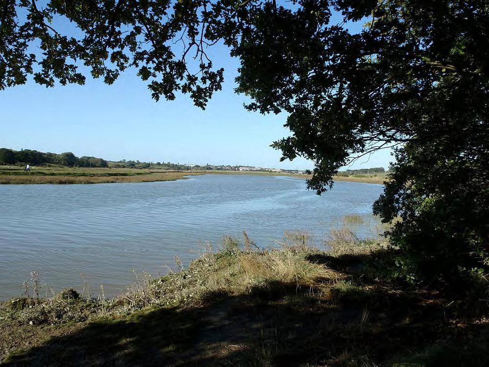
View from cycle track looking up the River Colne
Leaving the cycle track we turned on to the sea wall and I pointed out the University of Essex upstream. This was established in 1964 with 122 students and now caters for 11,000 students from all over the world. Further upstream in the distance could be seen Colchester, the oldest recorded town in UK after the Romans established it, utilising the River Colne to transport cargoes.
As we proceeded along the seawall we had Ferry Marsh on our left and across the river to our right Rowhedge.
The two villages of Rowhedge and Wivenhoe were engaged in ship building from an early age with the first ship being built in Wivenhoe in 1528. In 1650 the “Nonsuch” was built and sailed the Canada where the Hudson’s Bay Company was formed.
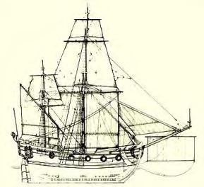
“Nonsuch”
Halfway along the seawall we came to the old ferry landing area where for many years a wooden ferry carried people across the Colne. When we were young boys, myself and two of my brothers cycled from East Mersea to Rowhedge and crossed on this ferry – the charge was 1 old penny!
Evident across Ferry Marsh, looking towards Wivenhoe, the large mass of new houses stands out clearly. This whole area is on of the main ship building locations, the other being on the lower downstream part of the quay which we walked past later. Various companies owned ship building firms and at the turn of the century Forrest & Co set up their business and constructed the dry dock in 1889. The outline of this is still visible within the housing, now a shallow pond.
The Dry Dock location
In 1943 on Ferry Marsh, two Pier Heads were built for the Mulberry Harbour as part of the huge harbour built of the Normandy Coast for the D-Day Landings in WWII.
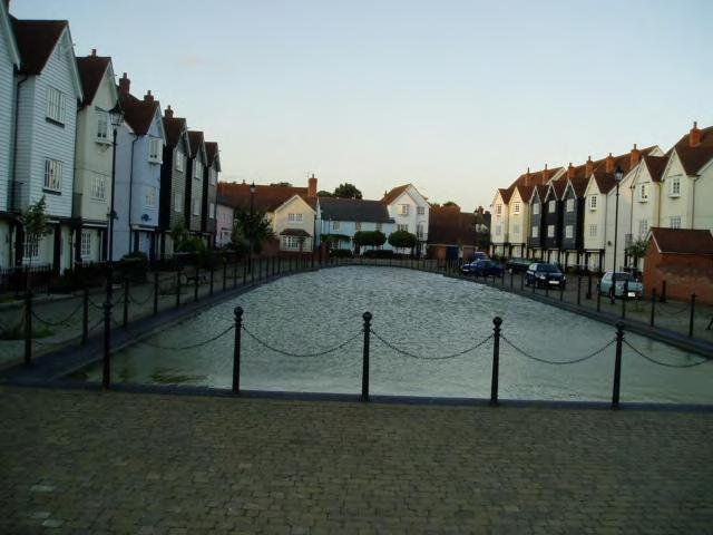
We left the sea wall and walked along the recently constructed paved area in front of the new housing – this gives excellent views across the River Colne.
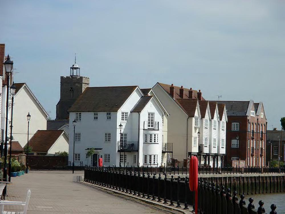
Recently constructed paved area in front of the new
housing
Passing the main quayside with the Rose & Crown pub and Nottage Institute (formed over 100 years ago by Captain Nottage to further the education of navigation, we came to the lower quay area where ship and yacht building were carried on.
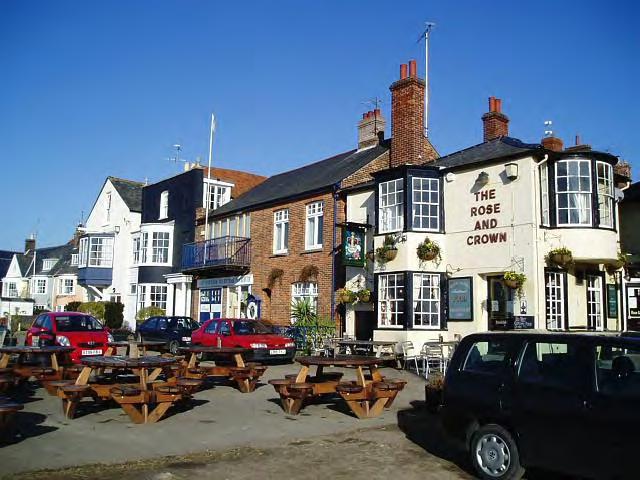
Rose & Crown pub
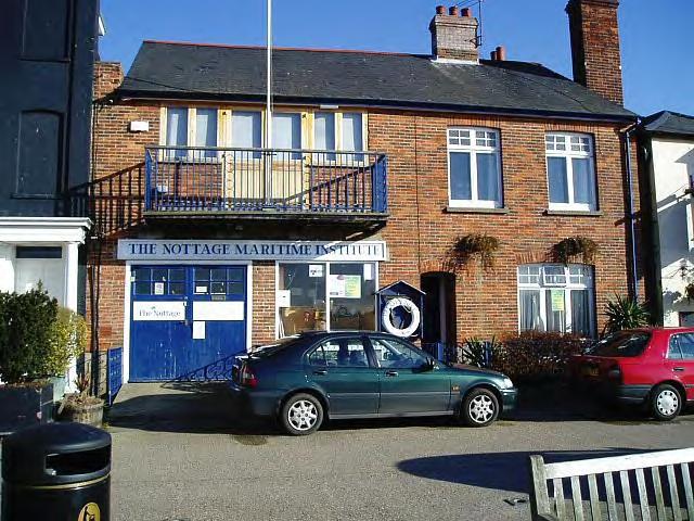
The Nottage Institute
One yard was Colne Marine & Yacht Co Ltd which ceased trading in the late 1990s and whose buildings have been converted in to fine homes.
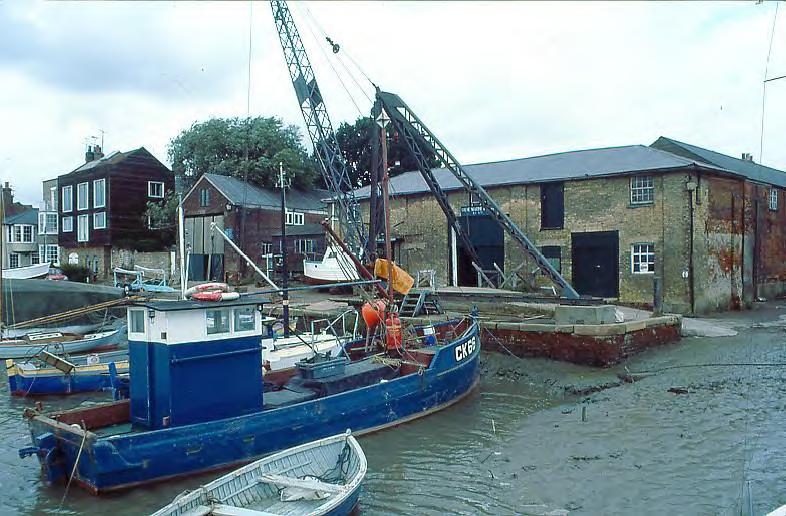
Colne Marine & Yacht Company Ltd
(when trading)
Proceeding along the quay we came to the site of James W Cook and Co Ltd, who built steel ships – the area is now redeveloped as housing. Established in 1948 they built 512 ships until
closure in 1986. The “Lord Nelson” was one of the last vessels built – she was a barquentine for the Jubilee Trust who used her for taking disabled people sailing.
Further on we came to the Tidal Surge Barrier constructed in 1991 to prevent flooding on the quayside during spring tides.
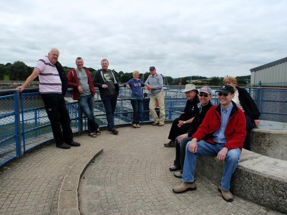
Group at Tidal Surge Barrier
Just below this is the Wivenhoe Sailing Club, built for the club by the Environment Agency during construction of the Tidal Surge Barrier.
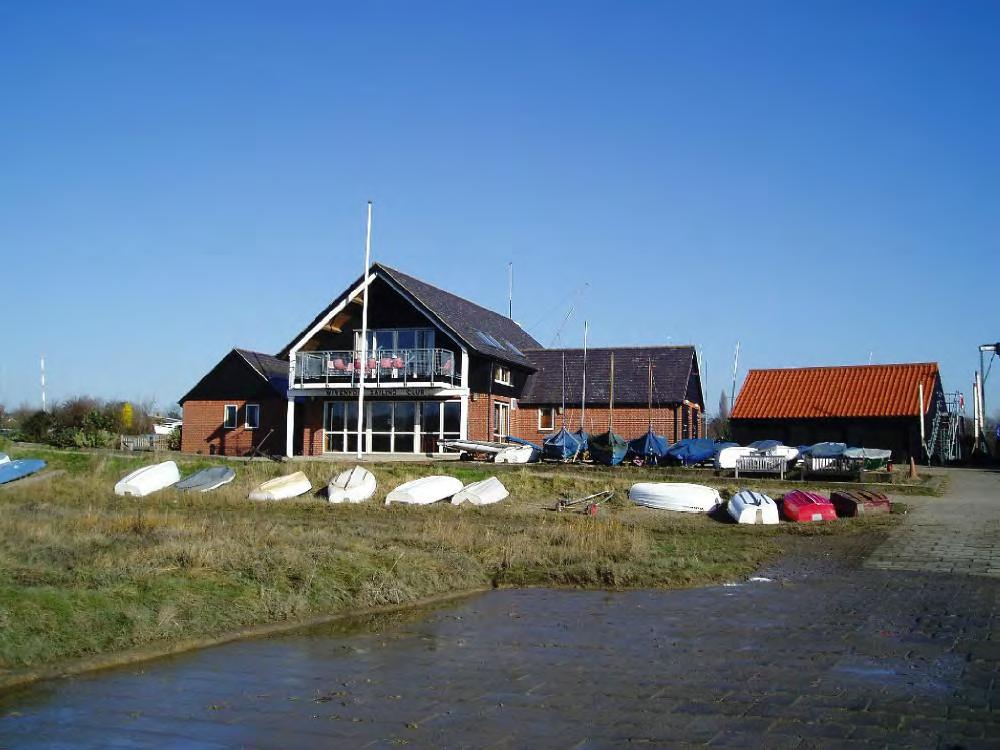
Wivenhoe Sailing Club
Now the tide was flooding and many sailing dinghies from the club were out racing.
We turned in to the village and walked up through quaint streets to the village square were we entered the Tudor Café for lunch – I had reserved tables.
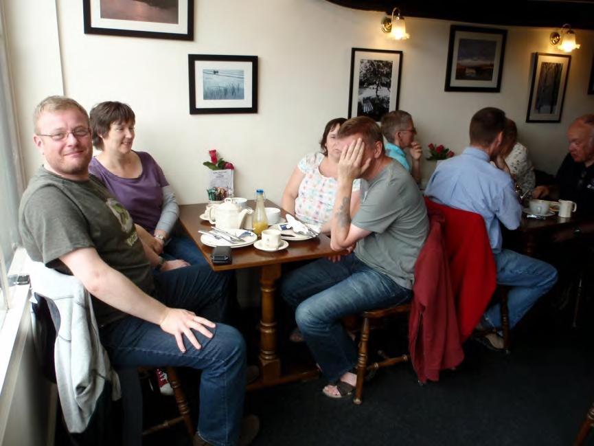
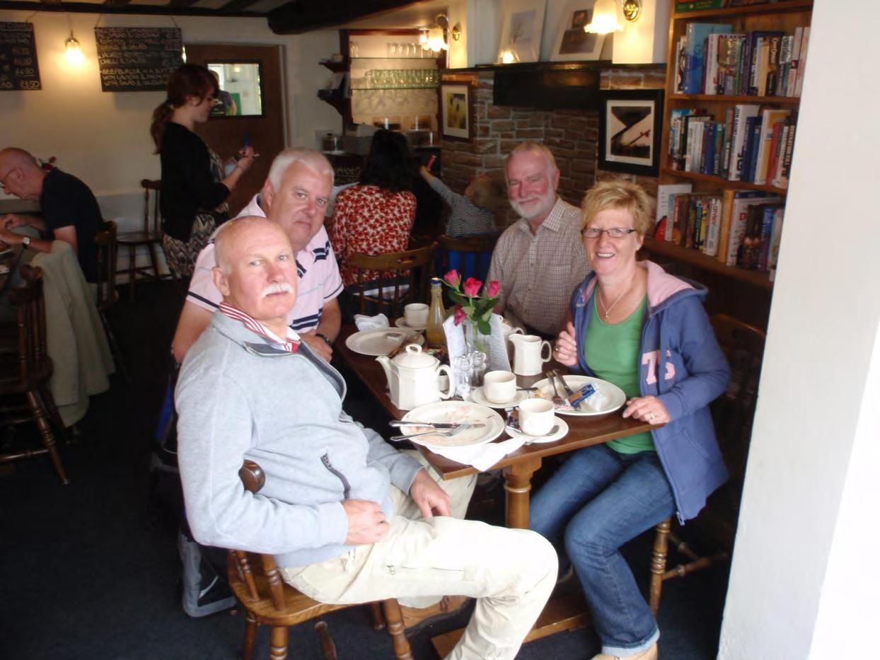
Group at lunch
After lunch we all walked up the hill through the King George Playing Fields back to my home where after a coffee we said our farewells.
If anyone in the East Anglia
Section would like to host a similar event next year please contact
our secretary before the AGM in October.